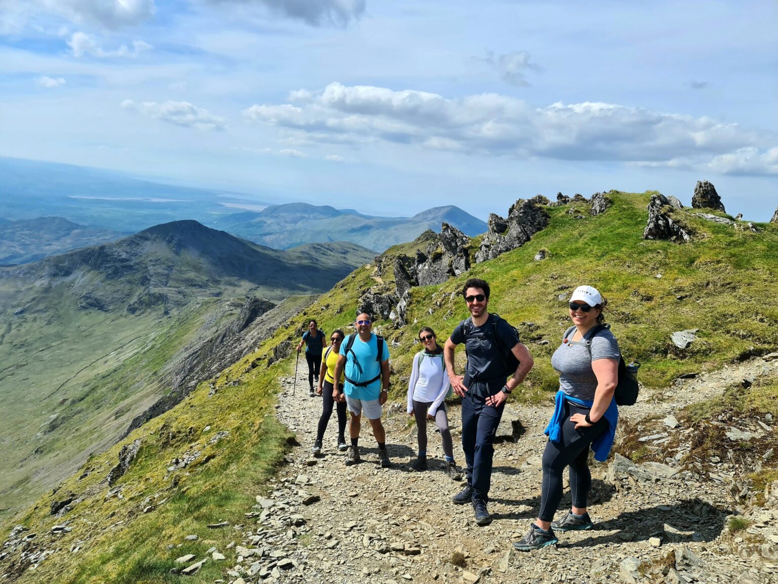
There are six main Snowdon hiking routes which will take you to the summit. Each Snowdon hiking route has its own character and charm, as well as its own level of difficulty. When you choose your route to the summit,
Snowdon is the highest mountain peak in Wales and one of the most famous hiking routes in the UK. If you are looking to overcome a 1,085-meter challenge then one of the 6 routes up to Snowdon are for you.
Llanberis Path
The easiest but the longest of the 6 routes. Llanberis path is one of the main paths used to reach Snowdon’s summit. Its gradual climb to the summit makes it one of the most accessible routes and one of the most popular.
Distance: 9 miles (there and back)
Total Climb: 975m (3,199 ft)
Time: Approx 6 hours (there and back)
Start and Finish: Far end of Victoria Terrace, Llanberis, off the A4086
Parking: Numerous car parks in Llanberis (LL55 4TD)
Miners Track
As the name suggests the track was originally built to serve the Britannia Copper Mine. The miner’s track starts off gradually, however, when you move towards the summit there is a steep climb to the top. When you arrive at Llyn Llydaw you can see the resemblance of the old copper mine.
Distance: 8 miles (there and back)
Total Climb: 723m (2,372 ft)
Time: Approx 6 hours (there and back)
Start and Finish: Pen y Pass Car Park (SH 647 557 / LL55 4NY)
Parking: Pay & Display car park at Pen-y-Pass.
Pyg Track
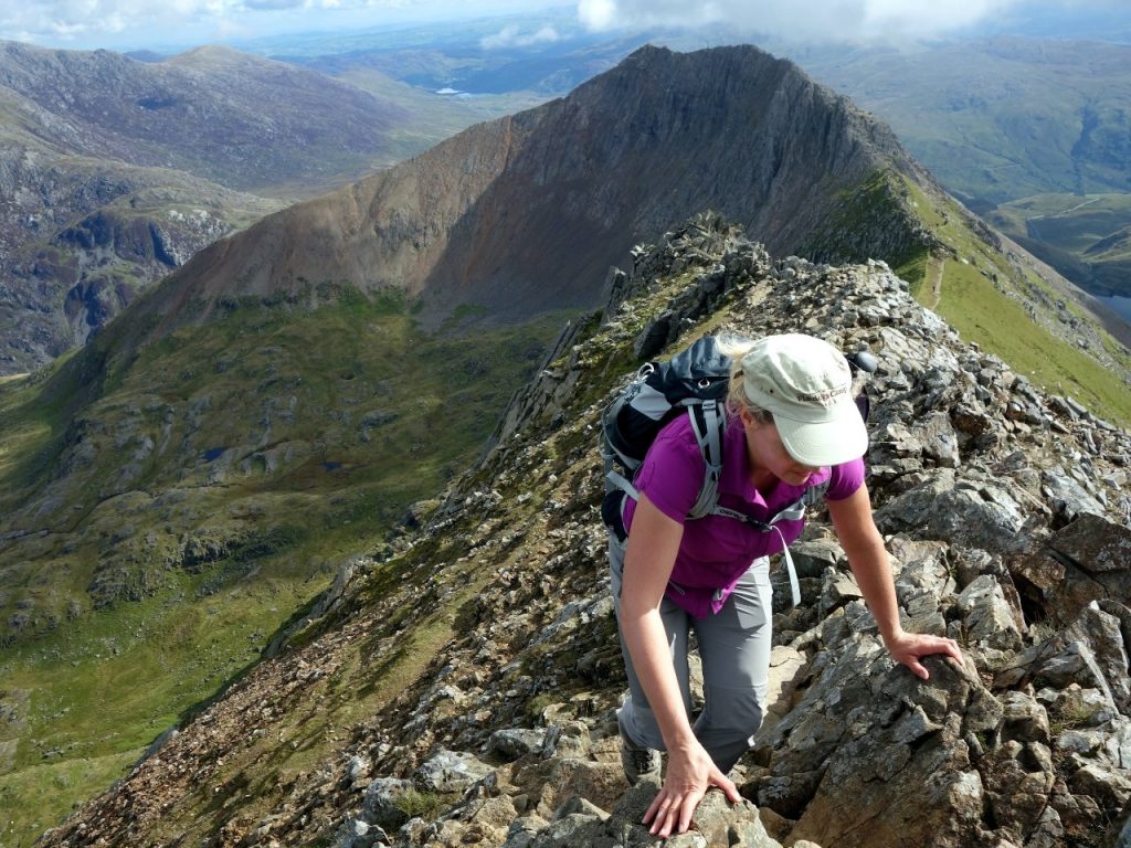
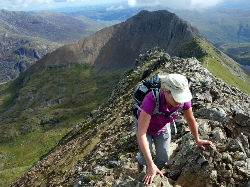
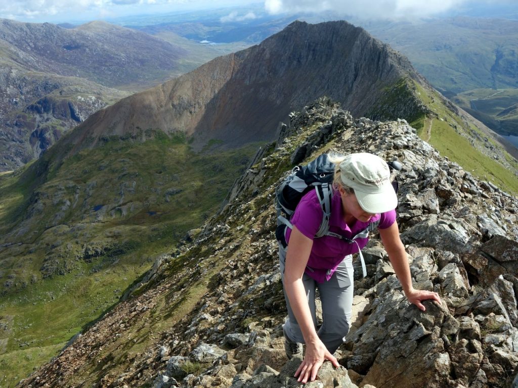
The Pyg Track leads along the foothills of Crib Goch, making it one of the most challenging routes to Snowdon’s summit. The along the ridge is extremely dangerous and it is advised that only experienced walkers attempt this route.
Distance: 7 miles (there and back)
Total Climb: 723m (2,372 ft)
Time: Approx 6 hours (there and back)
Start and Finish: Pen y Pass Car Park (SH 647 557 / LL55 4NY)
Parking: Pay & Display car park at Pen-y-Pass.
Watkin Path
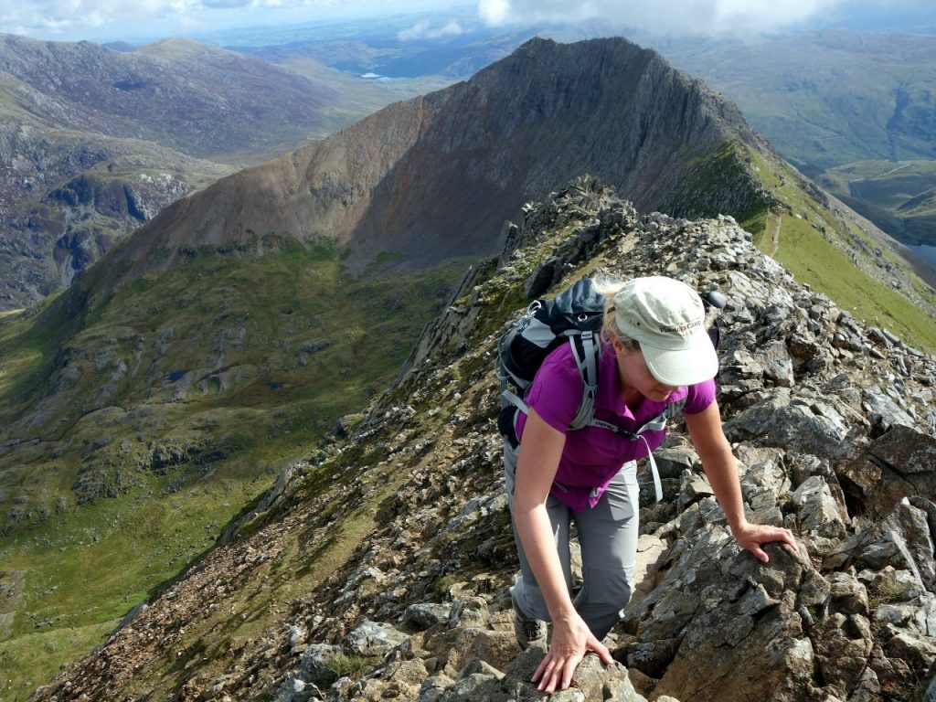
The Watkin Path is the route with the most height gain, but it is also one of the original routes to the summit. When you get closer to the summit the path gets a lot steeper on the South East side of Snowdon, with steep and lose stones on the slopes. However, the Watkin Path is a beautiful route with a walk through the old quarry and mines.
Distance: 8 miles (there and back)
Total Climb: 1,015m (3,330 ft)
Time: Approx 6 hours (there and back)
Start an Finish: Pont Bethania Bridge Car Park, Nant Gwynant, off the A498 (SH 627 507/ LL55 4NL)
Parking: Pay and Display Pont Bethania Bridge Car Park (SH 627 507/ LL55 4NL)
Rhyd Ddu Path
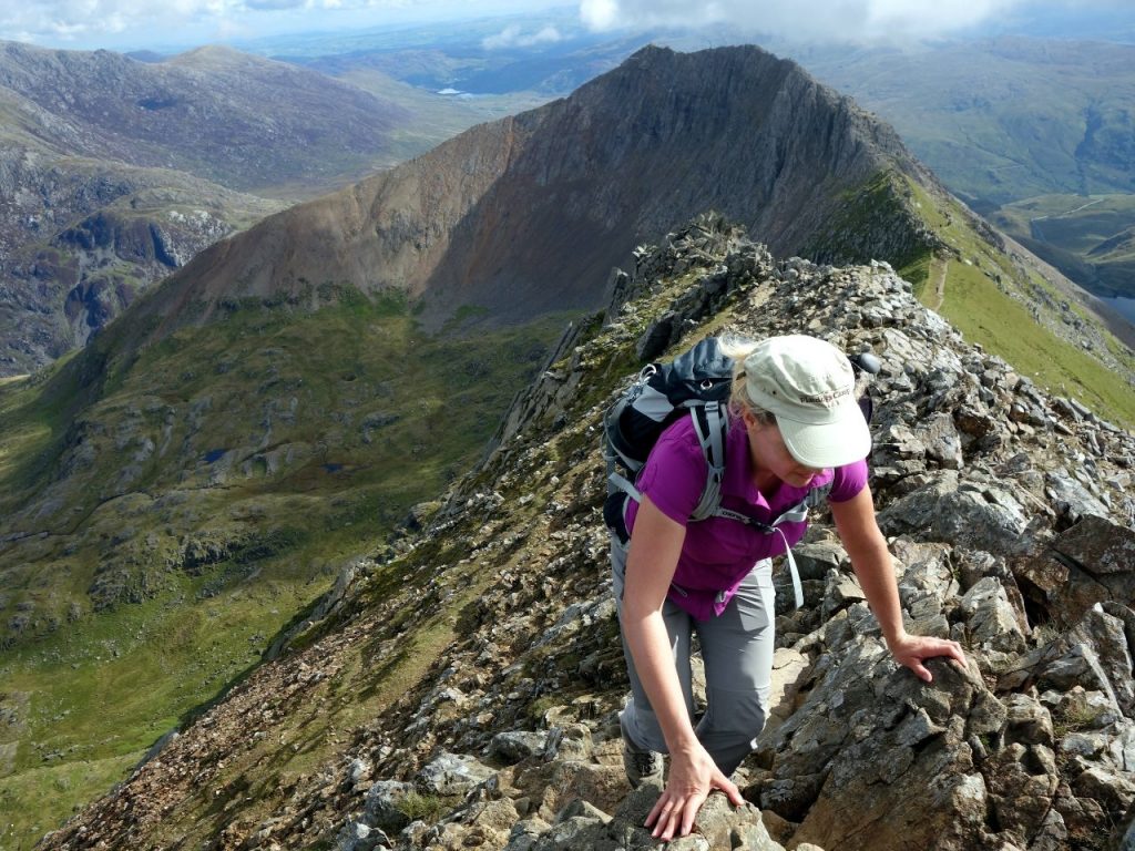
This route offers breathtaking mountain views of Moel Hebog and the hills of Nantlle. It is also one of the quietest of the six paths to the summit. Starting within the valley the gradually ascending path finally reaches a narrow ridgeline before Snowdon’s summit.
Distance: 8.5 miles (there and back)
Total Climb: 895m (2,936 ft)
Time: Approx 6 hours (there and back)
Start and Finish: Rhyd Ddu Car Park (SH 571 526 / LL54 6TN)
Parking: Pay and Display Rhyd Ddu Car Park (SH 571 526 / LL54 6TN)
Snowdon Ranger
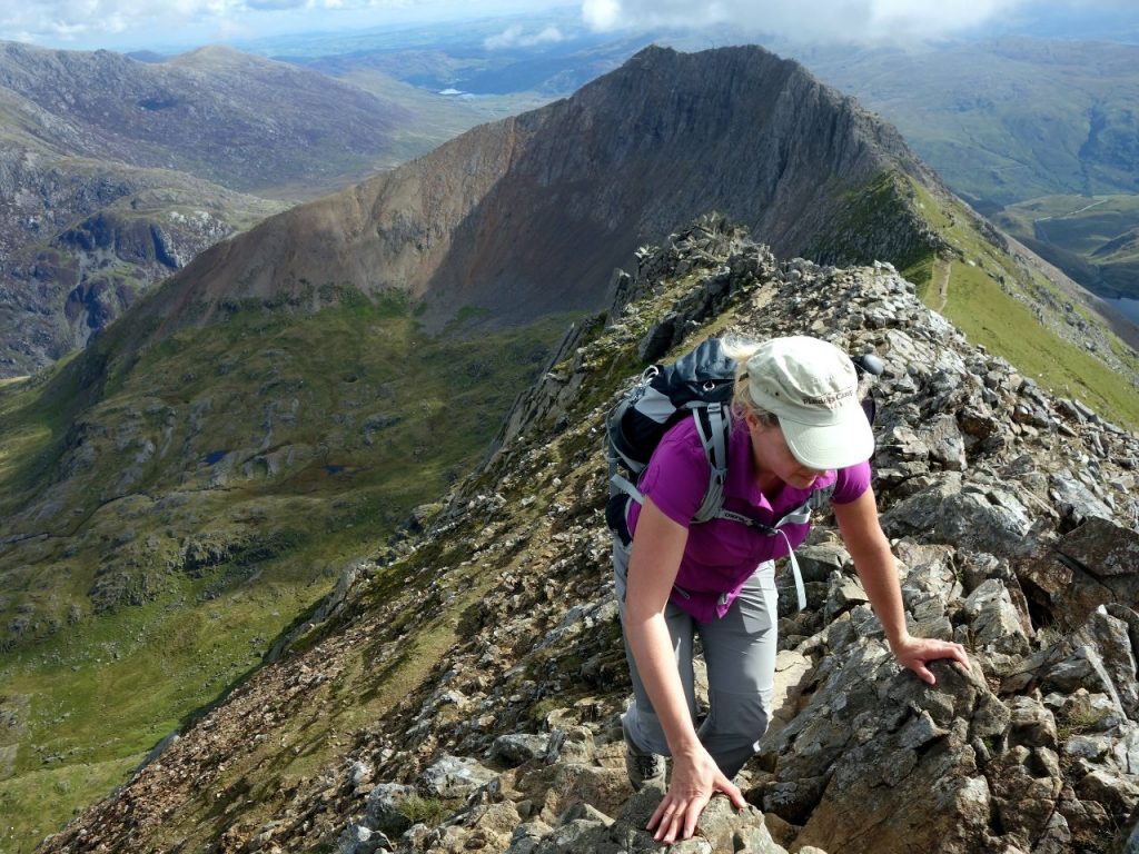
This path was named after John Morton in the 19thcentury, who was referred to as the ‘Snowdon Ranger’ after he led Victorians to Snowdon’s summit. It is one of the easier and quieter routes up Snowdon, with beautiful views of valleys, lakes and rocky ridges.
Distance: 8 miles (there and back)
Total Climb: 936m (3,071 ft)
Time: Approx 6 hours (there and back)
Start and Finish: Llyn Cwellyn Car Park, off the A4085 (SH 564 551 / LL54 7YT)
Parking: Pay and Display Llyn Cwellyn Car Park (SH 564 551 / LL54 7YT)
